Our glacier’s accumulation area
What we can’t see from Visitor Center I’m told by interpretive staff that visitors are often surprised to learn from…
2025 | Richard Carstensen | 90 second slideshowDiscoverySoutheast.org

April 2025: I’m developing this page in conjunction with Discovery’s Glacier App that we hope to roll out this summer. Resources listed below eventually will cover all things glacial: bedrock sculpting, surficial landforms (erosion and deposition), post-glacial succession, wildlife, and the ways glaciers influence our lives, for better (ice skating!) and worse (outburst floods).
Speaking of which, let’s fly up to the source of that hopefully temporary problem . . .

virtual flyover, starting at visitor center
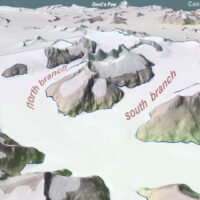
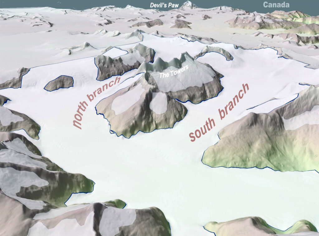
The high-resolution LiDAR for the above lake basin orbit is not available for the entire 36-square-mile valley glacier. But we can use a similar, coarser IfSAR model to visualize that much larger area.
The part we can’t see.
What we can’t see from Visitor Center I’m told by interpretive staff that visitors are often surprised to learn from…
2025 | Richard Carstensen | 90 second slideshow
Glacial topography on 2023 LiDAR terrain model We recently received a new LiDAR dataset commissioned by USGS, that just barely…
2025 | Richard Carstensen | 1 minute slideshow